"Flooding is not limited to coastal properties or homes located near rivers and lakes," the New Hampshire Insurance Department said in a March 2026 consumer notice, a reminder aimed at a state where flood risk has quietly stopped being a simple in-zone or out-of-zone question. For anyone comparing Rye against other Seacoast towns, that shift matters more than it sounds. The flood zone map still decides whether your lender requires a policy. It no longer decides what that policy costs.
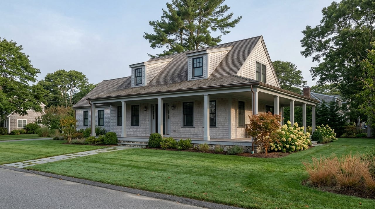
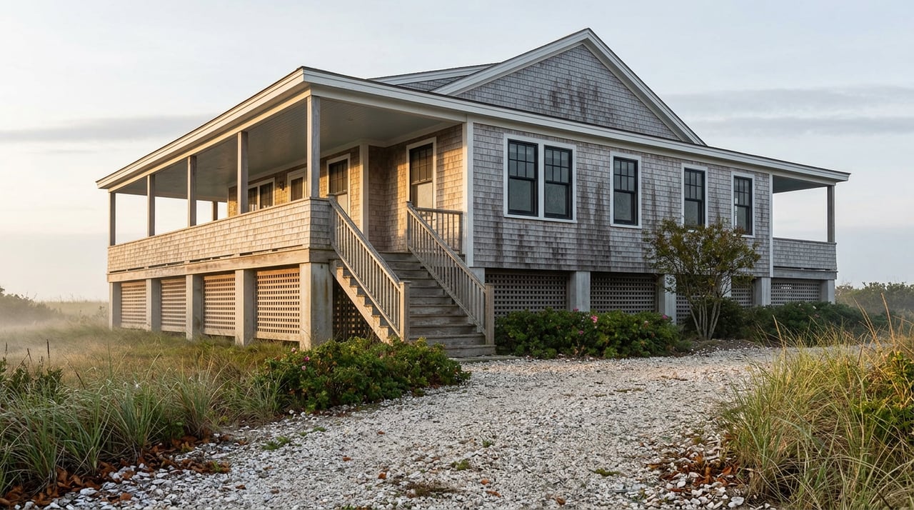
That distinction sounds small until you're standing in front of two houses on the same block, one of them a raised cottage close to the water and the other set back and slightly higher, and you realize the insurance quotes on those two properties may have almost nothing to do with which side of a FEMA line each one sits on.
The Map Used to Set the Price. Not Anymore
For most of the National Flood Insurance Program's history, your premium came down to your flood zone and your elevation relative to the base flood elevation, full stop. That changed on April 1, 2023, when FEMA finished rolling out a pricing system called Risk Rating 2.0 nationwide. Under the new methodology, flood zones are no longer used to calculate an individual premium at all. They still trigger the mandatory purchase requirement for a federally backed mortgage, and they still govern local floodplain permitting, but the price itself now comes from a property-specific model.
That model looks at the home's distance to water, the type of flooding it's exposed to, the foundation and construction type, the cost to rebuild, and the structure's elevation. Two houses on the same street, even the same flood zone, can land on very different numbers because one sits eighteen inches higher or has a different foundation type than the other.
When FEMA first modeled this transition for policies converting between October 2021 and March 2023, the agency projected that roughly 35 percent of New Hampshire policyholders would see their premiums decrease, the majority would see a modest increase, and a smaller share, those with the highest baseline risk, would see the steepest climbs, all phased in gradually rather than all at once. Federal law caps most annual increases at 18 percent for primary residences, so a policy that's underpriced relative to its true risk moves toward that full number a little at a time rather than in one jump.
What Actually Feeds the Number Now
If flood zone alone no longer sets the price, the natural question is what does. For a Rye property, the inputs a carrier is weighing include:
- Elevation of the lowest floor relative to the base flood elevation
- Distance from the structure to the nearest water source
- Type of flood exposure, whether storm surge, tidal, or riverine
- Foundation and construction type
- Replacement cost of the structure
None of these show up on the flood zone map itself. They show up in a separate document, and that document is where the real leverage sits.
What That Looks Like on the Ground in Rye
Rye runs roughly eight miles of Atlantic shoreline, the longest coastline of any town in New Hampshire, and its elevation drops close to sea level well before you reach the water in some neighborhoods. That geography means the town carries two zone designations that matter for insurance purposes. AE zones mark areas with a 1 percent annual chance of flooding, the so-called hundred-year flood, where FEMA has calculated a specific base flood elevation. VE zones cover the higher-hazard coastal strip exposed to wave action, typically the properties closest to open water.
Here's the part that surprises people who assume distance from the ocean settles the question. A property can sit a quarter mile back from the water and still fall inside a mapped high-risk zone, because the mapping accounts for storm surge and tidal reach, not just straight-line proximity to the shore. Meanwhile a home that looks coastal from the street, close to the water but built up on a higher foundation with proper elevation, can carry a materially lighter premium than a neighbor's home that sits lower even though both are technically in the same zone.
Nationally, recent FEMA policy data puts New Hampshire's typical NFIP premium at roughly $1,130 a year, well above the national median of about $894, a gap that reflects the state's concentration of coastal and tidal exposure. Zone still correlates loosely with the size of that bill. Moderate and low-risk zones tend to run below the state's blended average, standard high-risk zones somewhat above it, and coastal high-hazard VE zones the highest of the three. But those are rough bands, not quotes. The actual number for a specific Rye address depends on the property-level inputs above, which is exactly why relying on the zone letter alone to estimate a carrying cost during a home search will mislead you in either direction.
The Document That Can Move the Bill
The tool that translates those property-specific inputs into an accurate number is the Elevation Certificate, a survey document that records a structure's ground elevation, first-floor elevation, and its height relative to the base flood elevation. It typically costs between $300 and $600 to have a licensed surveyor prepare one.
It isn't mandatory under Risk Rating 2.0 the way it once was under the old system, but it matters for a specific reason. FEMA's pricing model uses an estimated elevation when no certificate is on file, and that estimate can be conservative. If your actual elevation is higher than FEMA's assumption, an Elevation Certificate can lower the premium immediately, often enough to cover its own cost within the first year of coverage.
For a Rye purchase, that makes the certificate one of the more useful pieces of paperwork to chase down before closing, not after. A buyer who orders one during due diligence knows the real insurance number before they're locked into a rate lock and a closing date. A buyer who skips it is pricing the home off an estimate that may not reflect the actual structure.
The Maps Are Moving Again
The other piece of this that rarely makes it into a listing conversation is that the underlying flood maps themselves aren't static. Rye's current governing flood maps date to a countywide revision that became effective January 29, 2021, following a Rockingham County coastal study FEMA finalized the prior year. That's the map a lender checks today to decide whether a policy is mandatory.
It isn't the last word, though. In October 2025, Rockingham County received preliminary flood data for the Piscataqua-Salmon Falls watershed, one stage in FEMA's multi-year Risk MAP process that moves from discovery through analysis, preliminary release, and eventual adoption. Elsewhere in the state, the pace of that same process is visible: revised maps for the Merrimack County watershed became effective January 23, 2026, proof that these multi-year reviews do eventually reach adoption. Rockingham's timeline won't necessarily match Merrimack's exactly, but the direction is consistent. These reviews take years, they move county by county, and a preliminary map isn't binding until a community formally adopts it, typically well after a public comment and appeal period.
For someone financing a Rye purchase over fifteen or thirty years, this is less an immediate concern than a background fact worth knowing. The map your lender uses at closing this year is not guaranteed to be the map governing your property a decade from now, and if a future revision shifts a property's zone designation, that can affect whether flood insurance becomes mandatory even if the Risk Rating 2.0 premium itself doesn't move much. It's one more reason the elevation of the structure, not just its zone label, is the detail worth confirming early.
Before You Write an Offer
Does a property outside the mapped high-risk zone mean flood insurance is optional? Not necessarily. A lender may still require it, and given how much of Risk Rating 2.0 pricing depends on individual elevation and distance to water rather than the zone boundary itself, a policy is often worth carrying voluntarily on properties near the coast regardless of the zone letter.
Will the premium keep climbing every year? Only if the property is currently priced below its full-risk rate. Once a policy reaches that number, the increases stop. The 18 percent annual cap on primary residences means the climb is gradual, not sudden, but it isn't indefinite.
Is an Elevation Certificate worth ordering if it isn't required? For most Rye coastal properties, yes. If FEMA's default elevation estimate is conservative relative to the home's actual survey, the certificate can lower the premium enough to pay for itself quickly, and it gives a buyer a real number to work with before closing rather than an estimate.
None of this changes what makes Rye worth considering in the first place. It does change how a serious buyer should shop it. The listing price gets you in the conversation. The Elevation Certificate tells you what it actually costs to stay.
If you're weighing a coastal purchase in Rye or comparing it against other Seacoast towns, Carol Seniuta can walk you through what a specific property's flood zone history and elevation profile actually mean before you write an offer. Let's Connect.